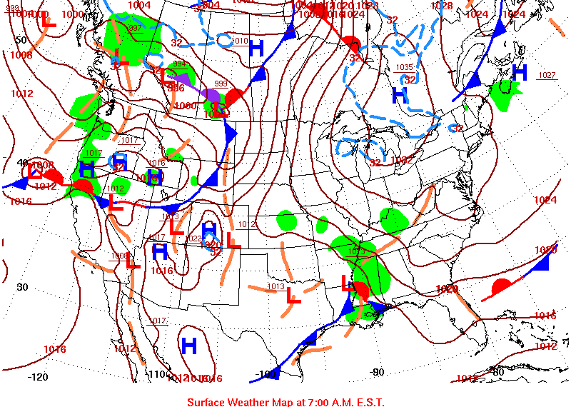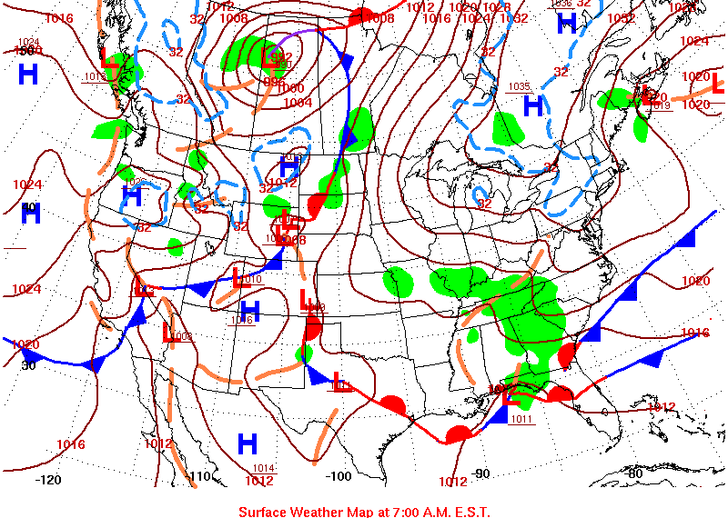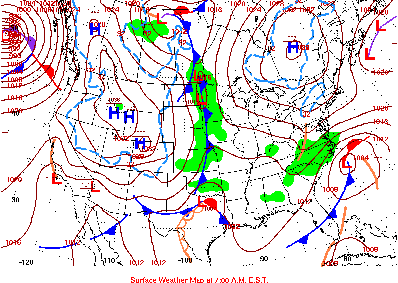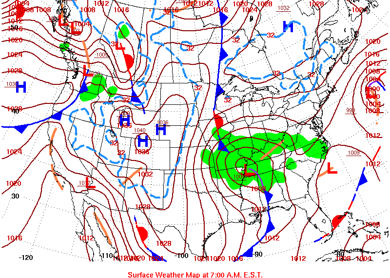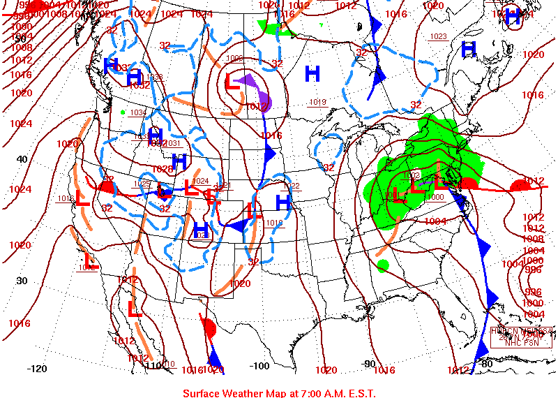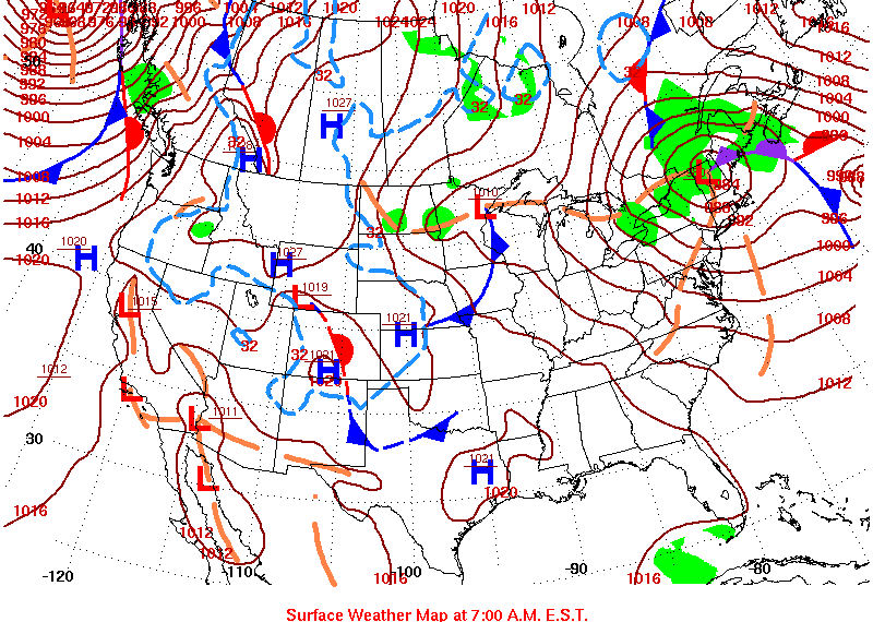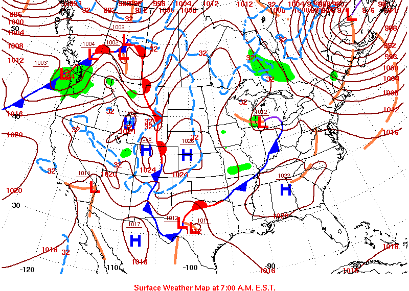
The weather map archive contains maps of surface weather, the upper air, precipitation and maximum and minimum temperatures dating back to January 1, 2011. All of these maps can be placed in motion for periods of up to 30 days. By selecting "Surface", a steady stream of surface fronts and pressure centers can be seen moving across the map. Each map is valid for 7 a.m. EST. Select "Upper Air" and the 500 millibar maps of height contours for 7 a.m. EST can be placed in motion. When one chooses "Temperatures", the isotherms of maximum and minimum temperatures are displayed for each day with warm temperatures in red and cold in blue. Select "Precipitation" and the geographic distribution and 24-hour precipitation totals can be seen as recorded at 7 a.m. EST each day.
Moving Weather Maps
Speed:
Map Type: Start Date: End Date: